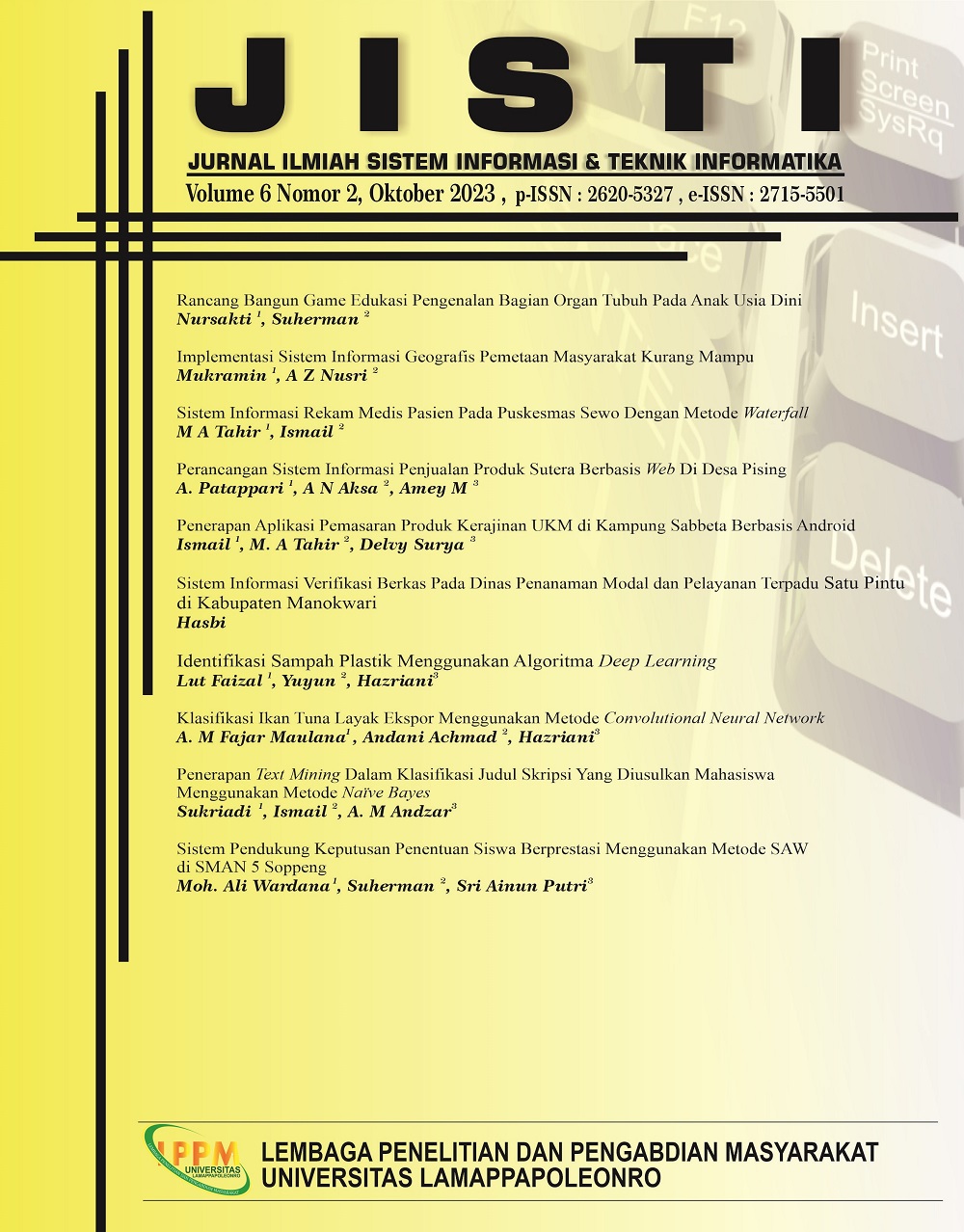
Implementasi Sistem Informasi Geografis Pemetaan Masyarakat Kurang Mampu
DOI:
https://doi.org/10.57093/jisti.v6i2.158Keywords:
Kurang mampu; Codeigneter; UML; Sig; PalopoAbstract
The increase in underprivileged communities in the City of Palopo makes it difficult for social services to map out less able-to-be sub-district or in-pour, because there is no system that can display the location of underprivileged communities. Therefore a system is needed that can map the locations of underprivileged communities in the sub-district and the outpouring in Palopo City. Systems designed using UML models such as use case diagrams, sequence diagrams and activity diagrams. This system was created using PHP Fremwork Codeigneter version 3 and google maps to display location data. Data-data storage media uses a MySQL database. Questionnaires are distributed to user or user to find out the feasibility of the system that has been created. The results of the questionnaire have been calculated and measured using a likert scale so that the results obtained are a system that is very feasible to use.
Downloads
Downloads
Published
Issue
Section
License
JISTI